Hiking in the Zingaro nature reserve: trails and tours
Hiking in the Zingaro near Scopello: five trails with length, time and rating, three tours, heat and water, plus walks at Monte Cofano, Baida and Inici.
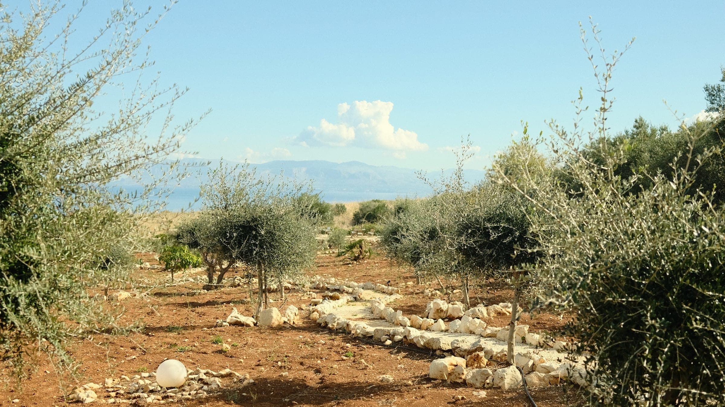
Hiking in the Zingaro nature reserve means walking a stretch of coast without a road, on the edge of Scopello in north-western Sicily. Five marked trails cross it, and the coastal path is the easy one: about 7 km and two hours one way according to the reserve, with coves to swim in along the way. The south entrance is about 10 minutes from the villa. Entrances, tickets and history are in our article on the Zingaro.
| Topic | Details |
|---|---|
| Status, 31 Oct 2026 | Reserve website: all trails accessible; open daily 8 am to 4 pm |
| Shortest trail | Coastal path, about 7 km, 2 hours one way |
| From the villa | South entrance about 10 minutes by car |
Source: Riserva dello Zingaro (website, map of 2 October 2026); previous Villa Giulietta website (driving time)
The five trails: length, time, rating
| Trail | Length | Time | Rating |
|---|---|---|---|
| Coastal path | 7 km (map: 8.3) | 2 h one way | Easy |
| Mid-slope path | 7.5 km | 3 h | Medium |
| High path | 8 or 13 km | About 4 h | Difficult |
| Passo del Lupo | 13 km | 7 to 8 h | Not stated |
| Bosco Scardina Alto | Not stated | Not stated | Not stated |
Source: Riserva dello Zingaro, trail pages and map of 2 October 2026; the 8.3 km is our sum of the map sections
For the high path the reserve gives 8 to 13 km: about 8 km and 4 hours on its trail page, 13 km on the map. Plan a long day. The coastal path is 7 km on the website and 8.3 km when the map's sections are added up (see the Zingaro article).
The reserve gives no figures for climbing. Hikers' recordings on portals show roughly 530 to 840 metres of ascent for loops of 11 to 15 km. The highest point on the map is Monte Speziale at 911 m.
Is the high path open?
On 31 October 2026 the reserve's home page said all trails are accessible, and its map of 2 October shows no closures. Earlier this year only part of the network was usable, and a status page by Sentieri Siciliani still left the high path out on 16 September 2026. Ring the reserve on +39 0924 35108 before a long day on the high trails. In periods of high fire risk the reserves can close without notice.
The reserve was open from 8 am to 4 pm at the end of October. A return trip on the coastal path is at least four hours of walking, so start at opening time.
Three tours to start with
Short: to Cala della Disa and back
From the south entrance to Cala della Disa the map's sections add up to 3.7 km, about 7.3 km there and back. At the reserve's pace of 7 km in two hours that is about an hour each way, plus time in the water. The coves are listed in the Zingaro article.
Loop: coast out, mid-slope path back
In March 2026 the region described a loop of about 10 km: 3.9 km north along the coast to the path through Contrada Sughero, then back on the mid-slope path.
Long: from the south to the north entrance
The crossing is a one-way walk of 7 to 8.3 km, so plan the way back: Voi Hotels advises two cars or an arranged transport, and the brokers Civitatis (guided coach trip from Castellammare del Golfo from €55, no year) and Lokalee (round-trip shuttle from San Vito Lo Capo) sell organised trips. The north side is covered in our article on San Vito Lo Capo.
Heat, water and shoes
Spring and early autumn are the best seasons, according to The Wom (April 2026); summer is full and hot, and long stretches have no shade. At the Trapani-Birgi weather station the average daytime high is 30.4 °C in August and 23.8 °C in October, with the sea at 26.8 and 22.7 °C (air 1971 to 2000, sea ten-year means).
Carry all the water you need: the wells and troughs on the trails hold only water that is not safe to drink. The map marks toilets at the south entrance and at Tonnarella dell'Uzzo. Wear trekking shoes, a hat and long trousers against thorny bushes.
Walks outside the reserve
Three more walks are worth the drive. The figures come from route sheets of the Erice section of the Italian Alpine Club (CAI).
| Walk | Length | Time | Height |
|---|---|---|---|
| Scopello to Castello di Baida | 6.5 km | 1 h 50 | 342 m |
| Tre Portelle to Monte Inici | 13.2 km | 3 h 40 | 645 m |
| Monte Cofano round route | 6.8 km | 2 h | 250 m |
Source: CAI Erice route sheets (undated); heights as printed on each sheet, the Cofano figure is not explained there
Scopello to the Castello di Baida
Scopello is 2 km from the villa, and this walk starts at the village's Baglio, at about 100 m. It passes the Torre Bennistra, a 16th-century watchtower with a view over the gulf, and ends at the Castello di Baida at about 290 m, partly a ruin and still inhabited. A longer variant of 11.0 km and 3 h 10 min is listed on the same website.
Monte Inici from Castellammare del Golfo
The route Tre Portelle - Fossa del Bove starts in the centre of Castellammare del Golfo at 80 m, is rated E (a walking trail) and ends at the Castello di Inici. Monte Inici is 1,063 m high.
Monte Cofano: the Sentiero del Mare
The Monte Cofano reserve near Custonaci burned in July 2025. Local press reported on 12 June 2026 that the Sentiero del Mare, from the Cornino entrance to the Frassino entrance, reopened on 10 June; the summit path was still closed on the Sentieri Siciliani status page (16 September). The CAI and WWF route sheets predate the fire, so confirm the route before you go.
From the villa
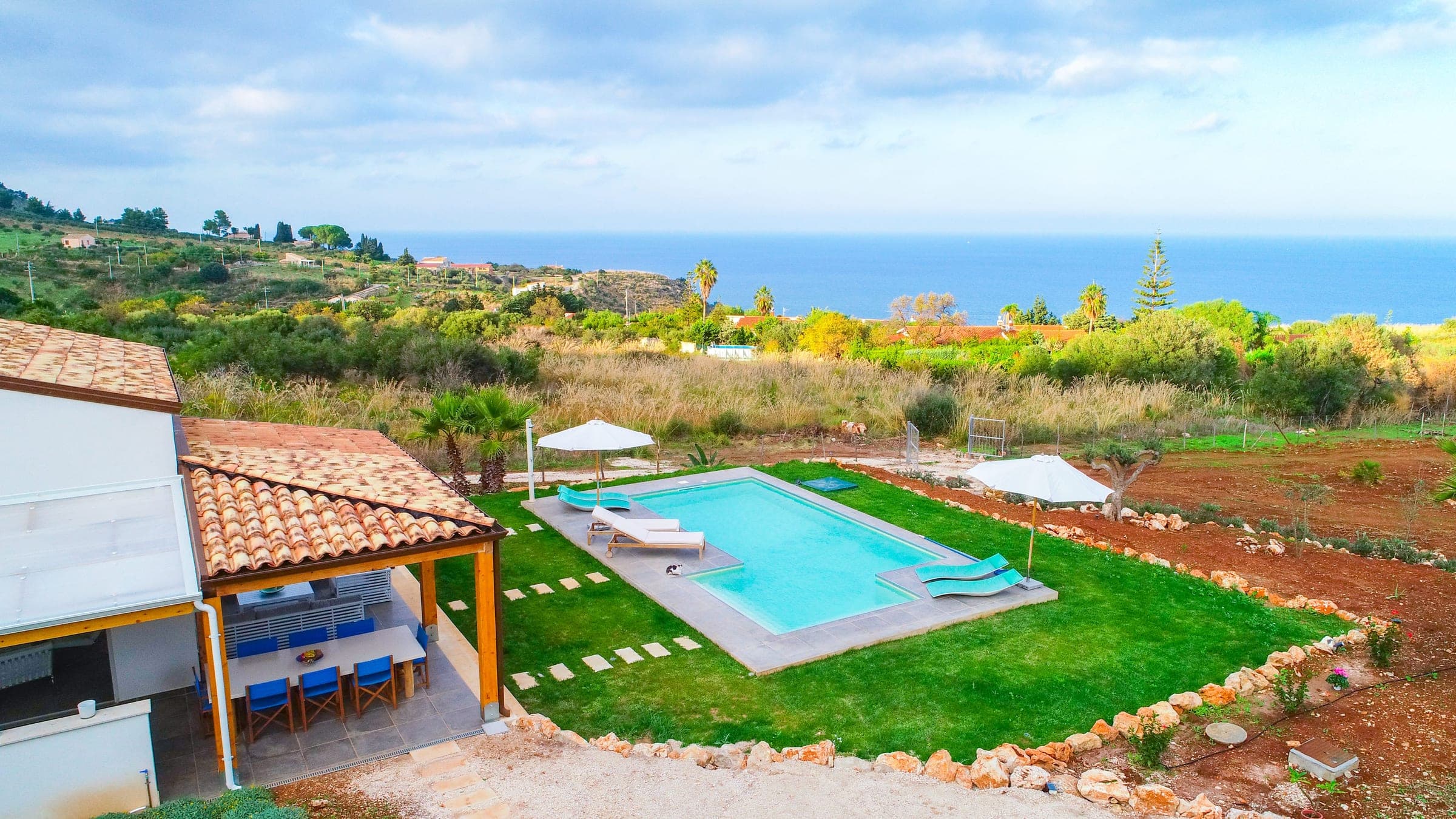
Castellammare del Golfo, where the Monte Inici route starts, is 8 km from the villa, around 20 minutes; the north entrance of the Zingaro means driving around the mountain via San Vito Lo Capo. The villa sleeps up to six guests in three bedrooms and has free parking for several cars. More distances are on the location page, prices on the rates page. After a walk, see our beach article and boat hire at Castellammare del Golfo. Ask us before you book through the contact page.
Questions and answers
How long is the coastal path in the Zingaro and how long does it take?
The reserve gives about 7 km and two hours one way. The sections on its map add up to 8.3 km. A return trip from one entrance is at least four hours of walking, without time for swimming.
Is the high path in the Zingaro open?
On 31 October 2026 the reserve said all trails were accessible. Ring the reserve on +39 0924 35108 before a long day on the high trails.
Can you walk through the Zingaro from the south to the north entrance?
Yes, on the coastal path, 7 to 8.3 km and at least two hours. Plan two cars, a booked transfer or a walk out and back.
Sources
- Riserva dello Zingaro: home page (opening, status of the trails), accessed 23 October 2026
- Riserva dello Zingaro: the itineraries
- Riserva dello Zingaro: coastal path, accessed 23 October 2026
- Riserva dello Zingaro: mid-slope path
- Riserva dello Zingaro: high path
- Riserva dello Zingaro: Passo del Lupo trail
- Riserva dello Zingaro: trail map of 2 October 2026 (PDF)
- Riserva dello Zingaro: map of 8 May 2026 (PDF), accessed 23 October 2026
- Riserva dello Zingaro: tickets and information, accessed 23 October 2026
- Sentieri Siciliani: trail status page (operator not named; updated 20 October 2026)
- Regione Siciliana: the Zingaro reopens on 14 March (11 March 2026), accessed 23 October 2026
- The Wom: the Zingaro trails (17 April 2026), accessed 23 October 2026
- ich-geh-wandern.de: user recording of a loop from the south entrance (undated)
- gps-tour.info: user recording (undated, seen in a search listing)
- Wikipedia: climate table for Trapani-Birgi 1971 to 2000, after Aeronautica Militare
- seatemperature.info: sea temperature at Castellammare del Golfo (ten-year monthly means), accessed 23 October 2026
- Voi Hotels: guide to San Vito Lo Capo and the Zingaro (26 May 2026)
- Civitatis: guided trip to the Zingaro from Castellammare del Golfo (broker, price without a year)
- Lokalee: shuttle from San Vito Lo Capo to the Zingaro, round trip (broker, undated)
- TP24: the Sentiero del Mare of the Monte Cofano reserve reopens (12 June 2026)
- CAI Erice: route sheet 607, Monte Cofano (undated PDF)
- WWF Sicilia nord-occidentale: excursion sheet of 8 April 2018 (PDF)
- CAI Erice: route sheet Scopello to Castello di Baida (undated)
- CAI Erice: route sheet 614, Tre Portelle and Fossa del Bove (undated)
Sources accessed on 31 October 2026 unless noted.